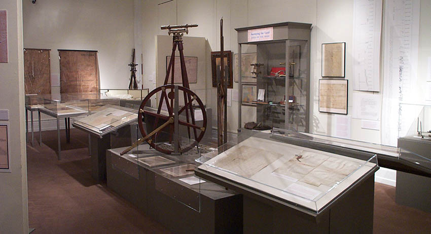
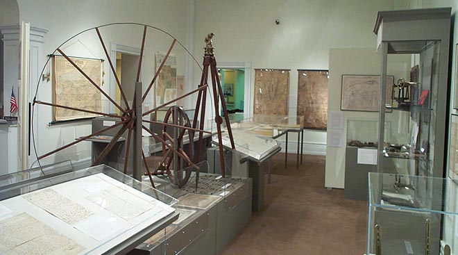
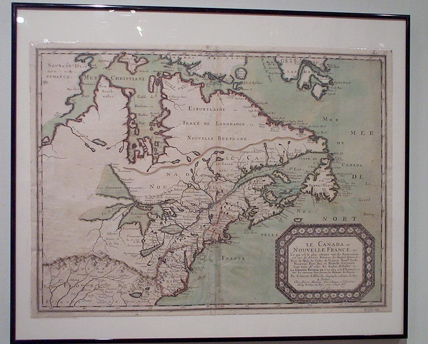
“Mapping Ontario County” explores how Western New York was first surveyed and mapped for settlers moving from New England and the Mid-Atlantic to the area. What was the Phelps and Gorham Purchase? What were the first surveys and how were these accomplished? Who were the surveyors? What was the Pre-emption Line? How and when did other counties break off from the original Ontario County? What and how were maps developed and used in the later 19th century? Many of the oldest maps in our collection as well as some early surveying equipment are on display.